Bradshaw’s Newry Directory (1820) continues ………
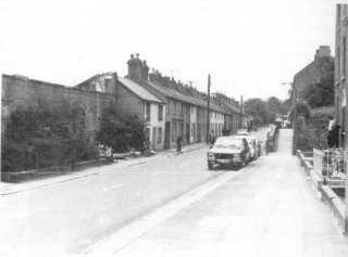
‘.. The road through the town northwards formerly lay through Ballybot, Mill Street, Market Street and High Street and united with the Banbridge Road at Stream Street.
But latterly the line of the road has been much improved by a new cut, in the direction of the river, along the level between the turnpike and the Low Ground.
The line to Rathfriland has also been improved by a cut northward, which meets the
Above the town the former
A little below this bridge there are some remains of a ford observable by which there had formerly been a passage over the river at low water.’
A few comments may be appropriate.
In regard to the name Ballybot – which appeared on old maps of Newry predating Bradshaw by two centuries, and which is still cherished especially by inhabitants of the Ballinlare Townland on the west of Newry – it is notable that the civil servants who rule us seem determined to extinguish the last reference to this historic nomenclature. To effect, I recently received the following email from
Dear John,
What do your readers think of the Electoral Commission proposal to change the historic name of “Ballybot/Baile Bocht” into “The Quays”?
This was highlighted on “Newsline” last night.
Who is behind this..? Local businessmen in search of free advertising for the new ‘Cathedrals’ on Merchants Quay and the
Philistines…
I hope that a sense of local cultural identity will prevail over bureaucratic ignorance.
Is mise
Frank Patterson
formerly of Drumalane, currently in
I for one find it difficult to dissent from Mr Patterson’s opinion.
And it is harder still to imagine people fording the
Finally, is it not ironic that present and future main road plans follow the ‘by-pass’ line of the infamous Isaac Corry (Chancellors Road) who wished, it is said, on his journeys back and forth to the Dublin Parliament, to avoid his constituents whose anger he had aroused with his betrayal of Ireland’s cause?