All political, parliamentary and municipal boundaries in our area are an artificial construct of the occupying English and designed for their better management of our affairs.
The municipal boundaries of the Borough of Newry were set in 1828 and was marked at its 18 edges by MB granite stones. Many can still be clearly seen, notably at the junction of Barley Lane, the Old and New Cemeteries on the Warrenpoint Road and at the Brickey Loanan on the Armagh Road – as well as the top of the Pighall Loanan. The artificial lines that join the 18 original MB stones denote the boundaries – at least in the West Ward – between the counties of Down (Town) and Armagh, a matter of principal interest now mainly to Gaelic football supporters.
In addition there are extant a number of old milestones in the Newry area which continue to offer distances in the old Irish miles – which were considerably longer than their English counterpart. Quinns the Milestone (Dunnes today on Hill Street) suggests that Dundalk in 9 miles distant (14) and Dublin 50 miles away (65). On the roadside near Damolly is another Irish miles Milestone suggesting Newry to be one mile distant and Banbridge nine miles.
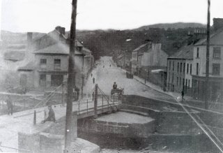
Of all the bridges over the canal and the river, four have dates of construction embossed on their sides. For example, Needham Bridge (at Soho Place) bears the date 1831. Other dates can be seen on McCann’s Bakery (1837 – for some incongruous reason this has been preserved in the renovated ‘Bagenal’s Castle’), Downshire Road Presbyterian Church (1845) – three separate places of worship on Sandys Street, and on St Mary’s Church (the Old Chapel) 1790.
