History of Newry Workhouse : Part 3

PaupersDerrybeg.jpg

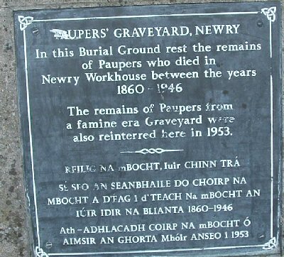
The area of administration was constituted by taking a large market town as a nucleus and attaching to it the surrounding rural district with an approximate radius of ten miles. Since such had been the rationale behind the establishment of market towns here following the Plantation, it resulted in a much more stable and homogonous …
Read moreHistory of Newry Workhouse : Part 3

1917 Queen St/Downshire Court

BbotBr.jpg

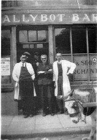
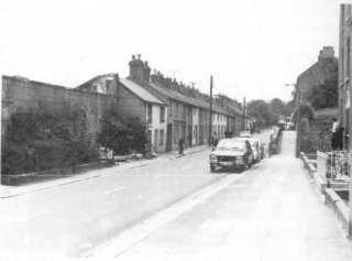
Today’s Patrick/Dominic Streets and Francis Street were formerly known as Queen Street and King Street respectively. A great many families lived in this poor town {Ballybot} and the official lists of residents of 1917 disguises the fact that many more families than those named shared these homes. However here are the Reporter lists of Queen Street residents …

Read more1917 Queen St/Downshire Court

Railway Stations

haldanestrain.jpg

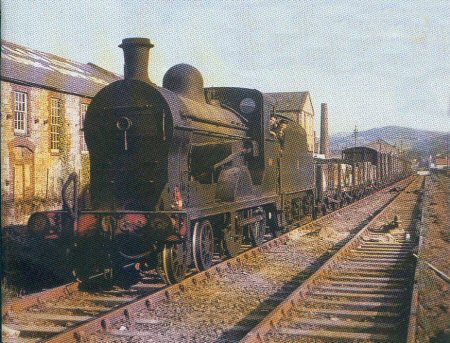
Newry’s first Railway Station was neither Edward Street nor Dublin Bridge, but was located at a red-brick building down the Warrenpoint Road in a place that later became the Abattoir.

Ticket for Mars?

canalstdevalera.jpg

In view of recent ‘political and security developments’ we sent our roving reporter to the Ardmore Fortress on the Downshire Road, in search of an interview with a real, live, local PSNI man (or woman).

Bradshaw 1820: new roads

domnicstreet.jpg

Bradshaw’s Newry Directory (1820) continues ……… ‘.. The road through the town northwards formerly lay through Ballybot, Mill Street, Market Street and High Street and united with the Banbridge Road at Stream Street.